
Day 2
I had studied the topo map but I knew contour lines were deceptive in the Grand Canyon. The contours offered an illusion of smoothness and evenness, but hiding between the lines were obstacles like boulder jams, impassable cliffs and pour-offs that were not visible in the contours. One is constantly going up and down and in and out to bypass terrain carved out and obstacles deposited by millennia of flash floods.
As we made our way the next day down one of the arms that connected with the main arm of Royal Arch Canyon, we came across a pothole that contained water instead of ice. There was no knowing if we would find another source of water later in the day so we dropped our packs and proceeded to filter the water to fill up our empty water bladders and bottles. My repeated delays yesterday must have weighed in on Jeremy, “How old are you Stephen” he asked as we filtered water from the pothole.
“I’ll be 38 this year” I replied
“Oh! I did not know you were that old! I turn 30 this year.” he exclaimed “If I knew you were that old I wouldn’t have planned this trip. I would have picked something easier.”
We continued our way and arrived at the 200 foot pour off where the drainage met the main arm of Royal Arch Canyon. There are two routes, the more straightforward one involved negotiating exposed ledges on the left side of the canyon, the prospect of which was triggering PTSD after yesterday’s experience dangling off the edge. Thankfully Jeremy picked the other route which involved climbing up the bed of the canyon, working our way under an overhand and squeezing through a small tunnel-like hole on the side of a cliff. It was a tight squeeze in a prone position, we had to take off our packs and pass it to the other. Then we had to negotiate ledges and talus to work our way back to the bed of the canyon.
As we approached the edge of a shelf, Jeremy cautioned me “Take your time on this one. The last time I was here with my buddy, he kept saying he couldn’t do it. It took him over 15 minutes before he gave it a go.”
I watched Jeremy descend a vertical crack in the cliff to the ledge below. I tested a few holds and maneuvered my way down once I saw Jeremy reach the ledge. “Whoa!” Jeremy jumped when he turned around and saw I was right behind him at the base of the crack. “I was going to take a break and wait for you to make your way down.”
“That wasn’t that bad. I’m fine with anything as long as I always have 3 points of contact” I said as we pressed on.
I did not tell him one of the 3 points was my butt. To compensate for my banged up leg, I had developed an “butt glissade” technique during the course of the day which is a fancy way of saying I scootched on my butt as much as possible and used it as a counter brace in place of the bad leg. I did not care about looking cool, it was extremely ungainly and probably hilarious to an observer but I got safely down obstacles without falling. On the rim-to-rim packraft trip, I was flagging by mid-afternoon as we descended the dry foot-busting rock-strewn bed of White Creek. As expected, Jeremy and Sara were ahead. Following behind was Linda, a spry hiker accustomed to the mountains of Colorado, myself with no natural athletic ability to speak of, Dawn who regularly ran marathons and Chip her husband. I wondered if Linda or Dawn caught on that I was struggling. I was gradually falling behind and asked Dawn and Chip to go ahead of me.
“No. No. I want to follow you.” Dawn said. “I noticed that you observe what Jeremy, Sara, and Linda do and then you come up with your own way. And it’s usually better.”
I was embarrassed that someone else noticed. It was my secret. I had stopped sharing my trips or my struggles with others, not just because they did not understand; but also because their responses embarrassed me. I did not think what I did was anything particularly brave or special; I was just finding my way of getting by.
There was a 50 foot upclimb on schist rock to get out of Shinumo creek on that rim-to-rim trip. I saw Sara and Linda struggle to find handholds and footholds. I was at the base when Linda climbed, when her foot could not find a hold, I reached out my hand and guided it to one. The heat was getting to me at this point and I knew I would not have the stamina to hang on and take my time. Momentum was going to be my friend. Just like how I scouted a line through the rapids over a decade ago, I scouted out a route up the black rock face and went for it. Thankfully all the holds panned out. “You were so fast!” Dawn later exclaimed, “You just shot up! I was watching you closely and I could not even make out what you did.”
As we descended deeper into Royal Arch Canyon, the day became an ongoing sequence of climbing down cracks and boulder jams, or working our way out of the canyon bed to find a bypass route for pouroffs and obstacles and back down again. After the Tonto spur turn-off, the boulders got bigger, the size of cars and pick-ups and we had to boulder and contort our way down the slots between huge boulders.
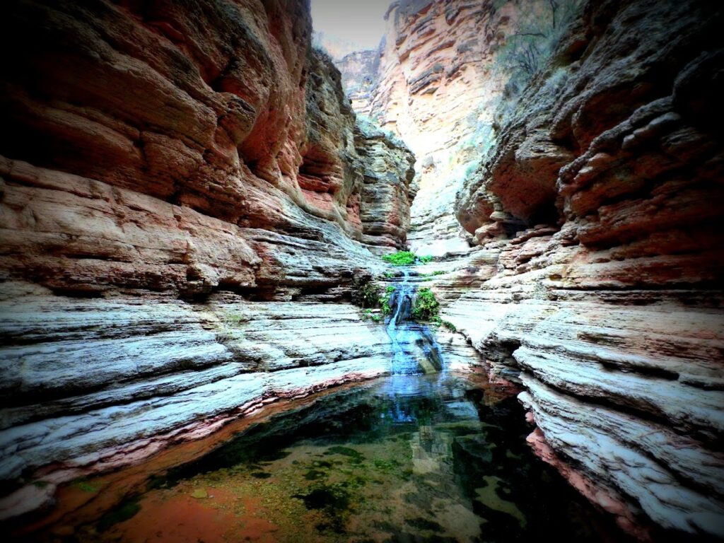
Eventually we arrived at the top of a pour-off, there was water below it where a spring emerged. Jeremy had to dig a cat hole so I continued to make my way down by the cliff next to the pour-off where the rock had weathered into layers of skinny ledges, feeling with my hands and legs for ledges that were at times an inch or two wide as I descended. I continued making my way down canyon, the spring had accumulated into pools of water between the rockwalls that fed into one another. It was beautiful and quiet and alone. After a while I came upon a large uncrossable pool of water with a huge boulder in the middle, I decided to try crossing it by traversing the ledges along the wall, gripping onto the inch-wide holds. Halfway across, I misstepped and fell into the pool with a loud splash. The water came up to my waist, since I was already wet I waded the rest of the way. When I reached Royal Arch, our destination for the day, I emptied out the contents of my backpack and laid the wet ones out to dry.
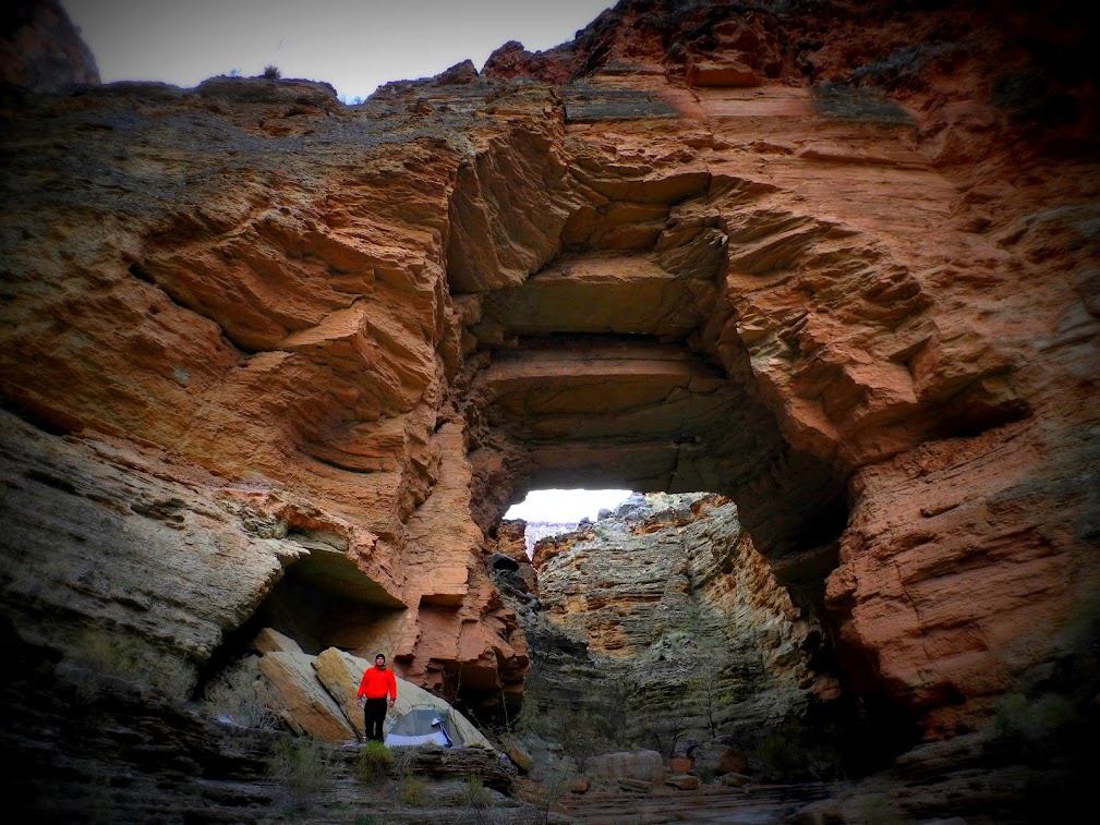
Royal Arch itself is spectacular, Grand Canyon’s largest natural bridge with a stream flowing underneath it. Even with a wide-angle lens, I was unable to capture its entirety and its surroundings. One could not step back very far as the stream drops off a huge cliff shortly after Royal Arch. We set up camp on the widest ledge and took it easy under the shadow of Royal Arch as the sun set.
As if taking back his reservations about my age and my ability that morning, Jeremy suddenly said “You are very strong Stephen. I mean you are mentally strong. I will hike you again.”
Day 3
Even though we were below the snow line, I rose to the cracking and splintering of a sheet of ice that had formed from the moisture that permeated through my sleeping bag like the morning before. This was to be the pattern of the days to come, although the canyon would heat up in the sun, the temperatures would plummet to below freezing at night.
We backtracked up the canyon to the Tonto turn-off. When we got to the pool where I fell the previous day, Jeremy hopped across rocks until he got onto the top of the big boulder in the middle, and long jumped across. I followed suit only to regret it upon landing when the impact jarred my busted foot. I did not quite clear the edge pool, one boot was immersed in water but at least I was not wet from the waist down. I was following close behind Jeremy even on the stretch where we had to hug the cliff-face and tip-toe on tiny ledges to get up the pour-off where the spring emerged at its base.
Up until we reached a tall boulder with a smooth curved chute carved onto its side. When I slid down the chute the day before, I had thought “This is going to be difficult to get up on”. The chute was worn completely smooth and it was the only way in or out. Jeremy had successfully
I planted a foot on the chute but slipped and fell and slid back on the second step, I could not get any traction; partly because I had a wet boot but also (upon inspecting my boots) that the soles had worn smooth from the beating they took the day before. I tried digging into the rock using the steel tips of my hiking poles, again I slipped and slid back. I tried climbing up without my pack and again I slipped and slid back. I tried bracing against the chute walls to no avail. I tried taking a running launch up the chute and again I slipped and fell back. I tried everything I could think off but each time I failed; this went on for over 15 attempts. I was getting more banged up and exhausted after each attempt, and the chute was getting more slippery as my perspiration transferred onto it. I stopped and rested, guzzled some water, and summoned everything I had for a last ditch attempt.
This time, as I launched up the chute on my back, my fingernails miraculously found a hairline crack on the roof. I was able to use it to slide myself up the chute further and my fingernails dug into another crack in the roof to push myself up further. I could see the top of the chute, the edge of the boulder above me. I managed to work my way up further but I was losing momentum, I had no purchase, I had no strength left to try again. In desperation I hooked my head over the top edge of the boulder and miraculously it held but I was in a precarious position, I was supporting my weight plus pack with my neck. I took a few deep breaths and slowly wormed my head and neck upwards, relying on the gravel ground on top for traction. I was aware I could break my neck at anytime. In this way I managed to drag myself out of the chute, when my shoulders got onto the edge of the boulder I gingerly flipped and rolled the rest of my body resting on the chute onto the ground so as not to break my neck.
I loosened my pack and laid on the ground thankful and panting for what seemed like forever. After gathering my wits and things, I forged up canyon until I reached Jeremy who was waiting for me at the Tonto turn-off where he was taking a lunch break. The climb up and traverse to the Tonto was steep, rocky and uneven. It was difficult to watch what was underfoot as sweeping views of Marcos Terrace beneath Powell Plateau where the Colorado river does a U-bend gradually presented itself as we made our way out of Royal Arch Canyon. It was sublime. I wanted to stay forever.
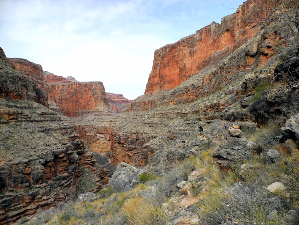
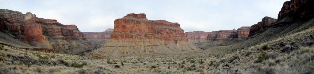
About an hour after leaving Royal Arch Canyon, we arrived at the edge of the Tonto shelf where we had to downclimb to reach the 20 foot rappel spot Jeremy opted to downclimb instead of packing rappel gear. There was a rope left behind by someone attached to a boulder, Jeremy tested it and felt it was strong and secure enough. Holding onto the rope, Jeremy went first “When you come down, the first footholds are on the right beneath the overhang” he informed me as he descended. Once I saw Jeremy had reached the bottom ledge, I used the rope we had packed to lower our packs to him before I climbed down. I looked around and found a notch in a boulder that I wrapped the rope around.
“Wow. I thought the packs were going to drop down. You are very strong” Jeremy called out as I lowered the packs slowly.
“Sorry, I’m not some strong macho guy. I am just belaying” I replied.
As I grasped the rope and went over the edge, I knew something was not right. My feet could not find the holds beneath the overhang. Instead they slipped which sent the rope and myself swinging. Instinctively, I wrapped the rope around my foot like I used to do when climbing the rope obstacle during my army days. This freed up one hand to cushion the impact against the rock when we swung back and forth, and to probe for any holds when we got in contact with the rock. I swung back and forth a few times, I could not find any holds.
“I got you” Jeremy called out. The swinging subsided, I looked down and he had managed to grab the free end of the rope and was steadying it. Rather than looking for more holds, I opted to do a controlled slide down the rope (as I did in in rope obstacle courses)
“Thank you” I gasped when I reached the ledge.
“For a minute there, I was worried you were about to slide off the ledge. That’s why I reached for the rope” Jeremy said.
I had another close call before we reached our campsite for the day at Toltec beach. The route cut straight down a steep slope with the consistency of slippery powder, and abruptly changing direction before the drop off. With the soles of my boots worn smooth, I was unable to slow myself down during the descent. I dug in my heels and hiking poles and somehow managed to come to a stop teetering at the edge of the drop off.
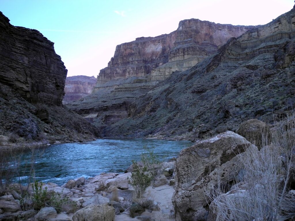
We set up camp at Toltec beach. I washed up by the river and soaked my feet in the cold rushing water and watched the rim cliffs high above us turn fiery orange as they caught the setting sun. From orange to red deepening into purple as the light and temperatures began to drop. After we had dinner and washed up, Jeremy and I played a few rounds of dominoes in the beam of our headlamps.
“You know, I knew that you were the right person to do this trip with.” Jeremy said whilst placing a tile.
“How so?” I asked, pondering my tiles at hand.
“Well, that first night on the packrafting trip on the North Rim. The others were talking about how excited they were to raft across the river and you were just sitting off to the side with a stupid look on your face looking into the canyon” he said.
I was glad he could not see my face in the darkness and the glare of the headlamp. I was extremely embarrassed, I did not realize that it had showed. I was self-conscious and was not sure what expression I was making. I fumbled with my tile.
“Yeah, I recognized it because I have that same stupid look on my face too when I look at the canyon.” Jeremy said as he placed his tile.
Day 4
We awoke to a sheet of ice on our sleeping bags and to a mess; ravens had gotten into the metal mesh bags we stored our food in and stole all our bread which was supposed to last us another week. Jeremy and I cleaned up the mess.
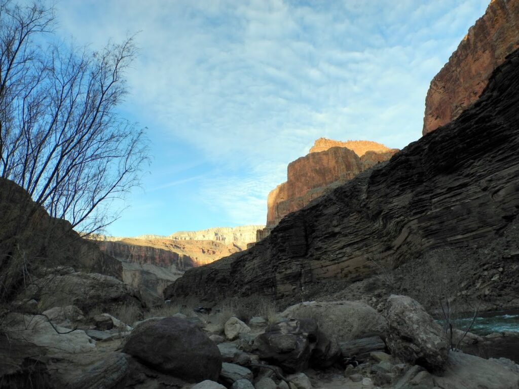
Jeremy went off to dig a cat hole and I was alone. I had purchased a solar chargeable pack and rugged speaker combo for the trip. I showed it to Jeremy before the trip “I got some things that will change the way you hike”, I joked. I bought it because I noticed Jeremy would listen to music with earbuds when he was off his “guide” mode during the packrafting trip, and since we did not know each other very well it would help fill any uncomfortable silences at camp during the trip. Jeremy loved it, he had used it to play his music the last two evenings at camp (I gifted it to him at the end of the trip). The rim cliffs were brightening in the sunrise and I plugged in my phone and played the “Largo” movement from Dvorak’s “New World” Symphony No. 9. Ever since my first trip into the Grand Canyon, those solemn opening chords that swelled have always reminded me of the rim cliffs at sunrise. In fact every section of the movement, whether lyrical or grand evoked some part of the canyon to me. And so I was immersed in the music, in the shifting play of light along the canyon; I sang and conducted this orchestra of sound and light around me.
“What are you are playing?” broke my reverie. I heard Jeremy’s voice behind me which froze me in the middle od a grand conducting gesture. I hurried over to stop the music.
“You can keep playing it”
“No, no. It’s alright. Just put on what you like.” I said as I disconnected my phone. I was deeply embarrassed that someone caught me in something so deeply personal. This was the second time someone caught me offering my song to the canyon. We were camped on the Esplanade on the last evening of the packrafting trip and I had made my way to the edge of the Supai cliffs we had climbed up earlier that day away from the group. I sang out to the canyon as dusk began to fall, the redwall cliffs below me turning burgundy. Then from my periphery vision, I noticed movement to my upper right. I turned to look and it was Sara who had made her way up the rocks above me in her exploration. I stopped in mid phrase and hurried away, she had probably heard me singing. Embarrassed, I hid in my tent.
In addition to the rugged speaker, I also packed 12-hour hand warmer packs for us. We activated them before we we crawled into our sleeping bags for the night, and the extra heat they provided inside the sleeping bags helped take the edge off the freezing nights. From the packrafting trip I knew that Jeremy packed sticks of honey as energy snacks and ate a pound of gummies after a hike, so I bought a two-week supply of honey-based energy gummy snacks for the both of us.
“Damn you Stephen.” Jeremy said after sampling one “Now I’m going to have to stock up on these expensive gummies for my trips.”
Later that day we set off on a side-trip to Elves Chasm. I was looking forward to it having seen several photographs of the waterfall tumbling over mossy boulders into a pool bounded by rock walls. It was a rugged trek to the chasm, we had to traverse sloping rock faces and step off or climb exposed outcrops atop steep slopes that ended in a drop.
Elves Chasm is accessed from where Royal Arch Canyon meets the Colorado river, working one’s way up the left side of the canyon. However there was an obstacle I could not cross which involved jumping from one uneven large boulder to the next across a gap a few feet wide. I could not confidently make the jump unassisted with my banged up foot plus the soles of my boots were worn smooth and were already sliding on the boulder I was standing on. Jeremy had already gone ahead and I pondered my chances of slipping and falling through the gap if I took the jump. It would not be fatal but I would be badly hurt and there were 10 more days to go.
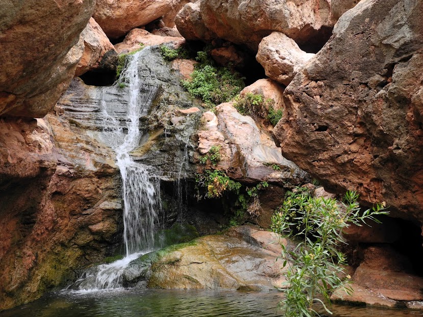
I opted not to do the jump but bouldered my way down to the base of the gap to see if there was an alternate route up on the boulder pile on the opposite side of the canyon. I attempted a few routes but progress was thwarted at some point. I gave up and spent some time at the base of the gap contemplating the waterfall formed from the water coming from Elves Chasm that plunged over the lip into the green pool below as I waited for Jeremy. I may not have gotten to see Elves Chasm but I got to explore different perspectives of this beautiful yet ignored waterfall that people skipped over above it on their way to the named viewpoint destination. I named it “Lesser Elves Chasm”. I felt some regret at not being able to see the chasm, but only some. Even if I had made it to the chasm, the photo I would have taken was mere evidence I was there and failed to capture any of my experience; the obstacles I had overcome or tried to overcome were more invaluable than replicating a photo view that others had taken before.
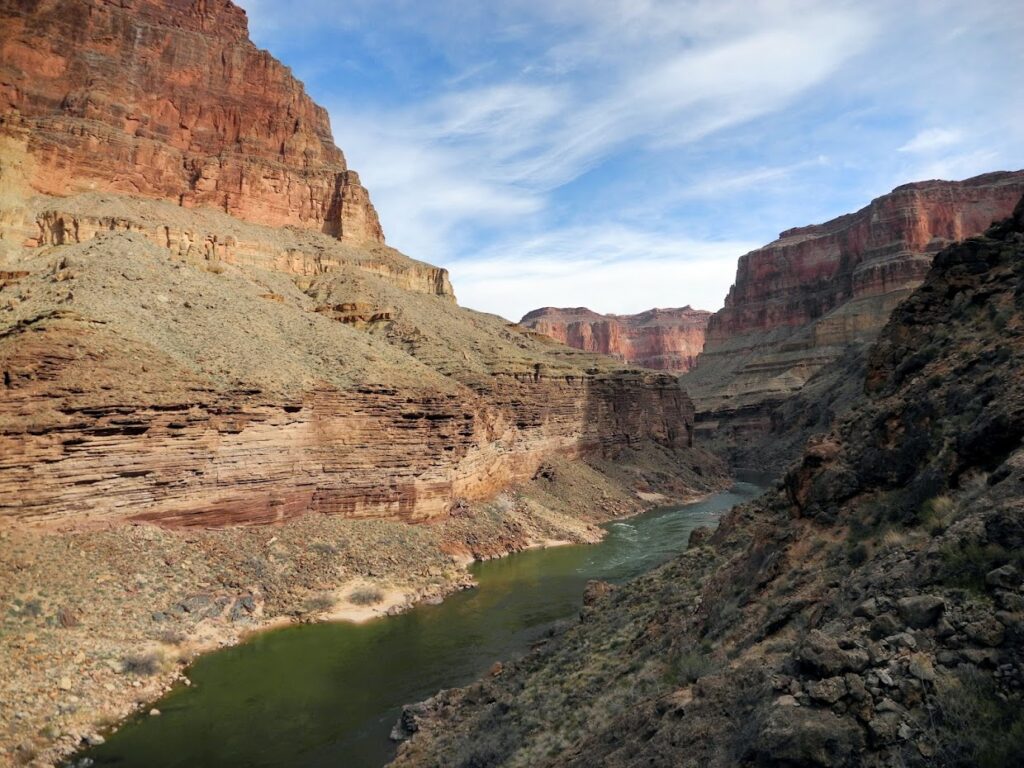
The way back was even harder to follow. The route appeared to disappear into nowhere up ahead at times but one had to forge on ahead nevertheless and hope one can spot the continuation upon reaching the spot where the route disappeared. Sometimes, one needed faith to step over the ledge and hope for the best.
Day 5
Jeremy thought we could travel light as we should be able to find seasonal water in Copper Canyon, our destination for the day. I said I preferred to be safe so I filtered and carried an additional 8 liters of water on top of my water rations for the day.
“You’re hiking like an old man.” Jeremy laughed
The route from Toltec Beach to Garnet canyon was made more difficult with the extra water I was hauling. Not only did it weigh me down, but it sloshed around in the bladders which occasionally threw me off balance whilst negotiating the boulder fields. It was easy to get lost, I found myself at times too high or too low and had to carefully work my way to a potentially safer route.
From Garnet canyon, it was approximately 12 miles to South Bass and we had to make our way up to the Tonto shelf at 2800 feet elevation where the Tonto trail began. As I made my way up Garnet canyon, I realized I had gotten separated from Jeremy whom I was following behind and was lost. I pulled out my GPS to get my bearings but it was useless. The satellite signals bouncing off the steep narrow canyon walls made it difficult to lock on. And when it finally did it gave me a false reading; it placed me in the proximity of Mt. Huethawali which I was nowhere near. I kept resetting the GPS on, whilst moving up and down the canyon bed hoping it would eventually lock on the correct location to no avail. There was a seep spring further up the canyon that collected in mineral stained pools of water on the canyon bed in hues of yellow, red, orange, green. Getting lost was never so scary and beautiful. I spent about an hour searching up and down the canyon for clues what might be the correct route, resetting the GPS now and then hoping it would lock onto the correct co-ordinates so I knew where I was in relation to the correct route.
I heard an echo of Jeremy calling “Stephen, where are you?”
“I’m lost” I shouted back,
“I can’t see you. Where are you?” his voice echoed.
“No clue”
“Try and follow my voice”
Easier said than done. The same canyon walls that bounced satellite signals also bounced sound waves making echolocation difficult. Jeremy and I continued calling at intervals as I tried my best to work my way towards him until we caught sight of the other across cliff bands. Once Jeremy showed me the correct route, I saw straightaway where I had gotten lost. Earlier when I was following behind Jeremy up a rocky slope I had missed a fork which abruptly changed direction and instead had continued on which brought me back to the bed of garnet canyon.
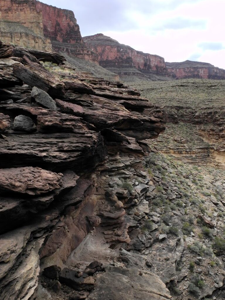
The top of the rocky slope butted against a cliff whose face had eroded into a series of overhanging sills spaced 8-10 feet apart that were broken and notched in spots. We had to use those broken notches to pull ourselves up each level to get up the cliff. Jeremy went first, once he was on the sill I passed our packs up to him, then I reached and grabbed the sill and hauled myself up. Somehow I managed to accomplish this despite sucking at pullups. Repeat for the next level and so on. When we worked our way up to the last sill at the top of the cliff, It began to rain and clouds rolled down obscuring the rim. We sheltered for a while under the overhang until it became apparent the rain was going to persist and lightning flashed across the sky. It was better to keep moving, so we took out our rain gear, covered our packs, and continued our way. As the Tonto trail wound out of Garnet Canyon, the cliffs of Marcos Terrace across the river close in with those of Spencer Terrace that loomed above. It was majestic yet intimate at the same time. The gray sky lit up repeatedly as lightning struck above on Powell Plateau and the rim. The desert vegetation was freshly green from the rain. I experienced the same sense of infinite beauty and of flying that I experienced 15 years ago on another section of the Tonto trail. As I paused for a photograph, I noticed Jeremy coming up behind me. Making a show of fussing with camera equipment, I waited until he passed me and disappeared from view into the next side canyon, then I flew and sang my heartache to the canyon amidst the rain, the lightning and the clouds.
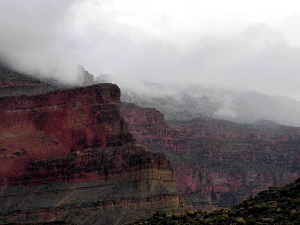
The rain eventually stopped and the sky cleared but we ran out of daylight before we made it to Copper Canyon and ended up camping high looking across to Walthenberg and Hakatai canyons that incised the Powell Plateau. Fortunately I had filtered and hauled 8 liters of water from Toltec Beach otherwise we would be in serious trouble. This old man saved our skins.
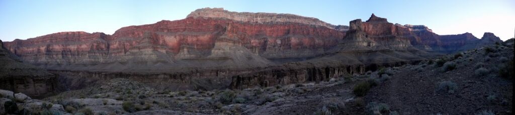
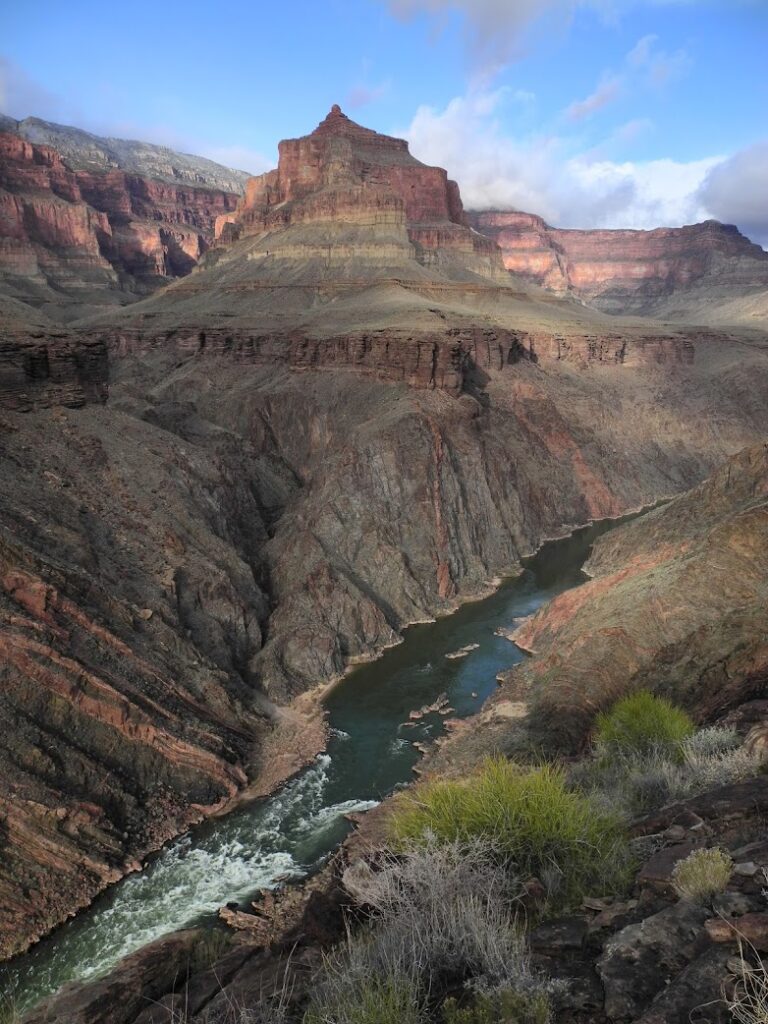
We reached Copper Canyon the next day but it was bone dry. Good thing this old man filtered and carried all that water. For the remainder of the trip, each time we found water I would filter and carry an extra 8 liters of water for us just in case which saved us a second time when another “reliable” seasonal water source we expected did not materialize.
Since we did not have sufficient water to reach the next seasonal water source, we decided to change our plans. There was a turnoff to South Bass trail below the Tonto that was marked on the topo map. We decided to take it and camp at South Bass beach where we could replenish our water supplies. The turn-off turned out to be tricky, loose rock tumbled and slipped during the descent. I missed switchbacks and got misled by false cairns, or missed the cairns altogether as they were indistinct amongst the piles of loose rock. I ended up way too high and had to work my way down unstable rock to connect to the South Bass Trail below the Tonto where I retraced our way down to South Bass beach where we had camped on the packrafting trip.
After setting up camp and replenishing our water supplies, I went off to the far end of South Bass beach. On the packrafting trip, I had met Dawn and Sara on my way there as they were making their way back. Jeremy had told them there was something special at the end of the beach and they were disappointed that it was just muddy pools of water in the rock. When I got there, I could tell from the striations in the schist and the topography of the cliff above that it was not merely muddy pools of water in the rock but a pour-off, a dry waterfall. Once again I daydreamed in its shadow when distant rains along the rim would pool into flash floods and send water hurtling a vertical mile down South Bass creek bed, and imagined what it would look like when it become a waterfall once again.
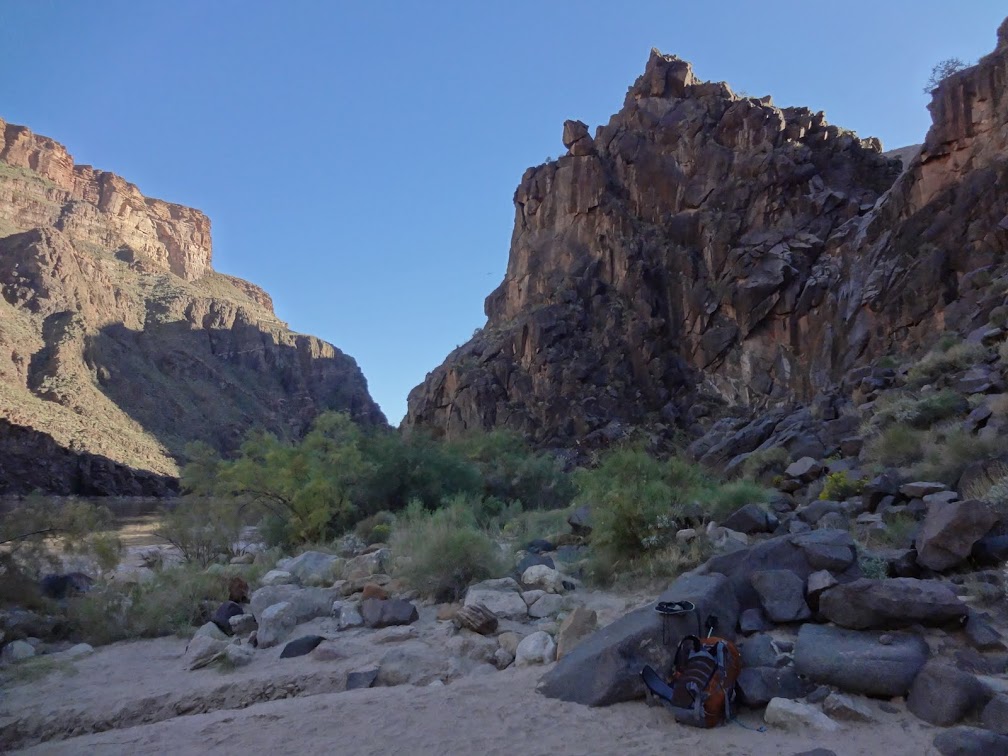
I was more sleepless than usual that night. It was not just the light of stars that kept me up. As we made our way up to the Esplanade from South Bass beach on the packrafting trip, Jeremy had pointed out where the Gems route connected with the South Bass trail. My eyes followed it until it disappeared around the canyon walls; a route I never thought I would get to do. But tomorrow I will set off to explore the remote part of the canyon I had cast my eyes so longingly on the packrafting trip, when I first saw it from the other end at Boucher Canyon 15 years ago and had been dreaming about it since. Would it be as amazing and life changing as I dreamt it would be?
<< CRATERING – RIM | GEOLOGY OF HEARTBREAK | CRATERING – RIM III >>